Last updated on September 24th 2026
BEST SCENIC DRIVES ON NEW ZEALAND’S SOUTH ISLAND
On the South Island, some roads are destinations in their own right.
New Zealand will casually put a turquoise lake, glacier, waterfall, mountain pass or suspiciously photogenic sheep beside the highway every fifteen minutes and expect you to keep driving.
We spent ten days road tripping around New Zealand’s South Island in a motorhome, starting in Christchurch and travelling across Arthur’s Pass to the West Coast before continuing through Haast Pass, Lake Hāwea, Wānaka, Queenstown, Glenorchy, Central Otago, Aoraki/Mount Cook and Lake Tekapo.
And some of my favourite parts of the entire trip happened between the places we had actually pinned on the map.
Most of the scenic drives in this guide are roads we drove ourselves. I’ve also included Banks Peninsula and Milford Road because they are two of the South Island’s standout scenic routes, even though we didn’t drive them on this trip.
QUICK GUIDE
Best Scenic Drives on New Zealand’s South Island at a Glance
These are driving times without lingering at viewpoints, traffic delays or weather issues. In our experience, that number became fairly theoretical the second a mountain appeared beside the road.
| Scenic Drive | Route | Approx. Drive Time | We Drove It |
|---|---|---|---|
| Banks Peninsula | Christchurch → Akaroa | 1.5 hrs | No |
| Arthur’s Pass | Christchurch → Arthur’s Pass → West Coast | 2+ hrs to Arthur’s Pass | Yes |
| West Coast SH6 | Hokitika → Franz Josef → Fox Glacier | 2+ hrs | Yes |
| Haast Pass | Fox Glacier → Haast → Wānaka | 3 hrs 15 min+ | Yes |
| Lake Hāwea & The Neck | Lake Hāwea & The Neck → Lake Hāwea → Wānaka | Around 45–60 min | Yes |
| Crown Range Road | Wānaka → Queenstown | Around 1 hr | Yes |
| Queenstown to Glenorchy | Queenstown → Glenorchy | 45 min | Yes |
| Milford Road | Te Anau → Milford Sound | Minimum 2 hrs | No |
| Kawarau Gorge | Queenstown → Gibbston → Cromwell | Around 50 min | Yes |
| Lindis Pass | Cromwell → Ōmarama | Around 1 hr 20 | Yes |
| Mount Cook Road | Lake Pūkaki → Aoraki/Mount Cook | Around 45 min | Yes |
BEFORE YOU GO
Driving Scenic Roads on New Zealand’s South Island
All the roads in this guide are public roads. You don’t need a 4WD simply because the scenery looks like you should be driving through it in a Land Rover commercial. You do need to allow more time than Google Maps suggests. South Island roads are often narrow, winding and mountainous, and in a larger campervan you naturally move more slowly than you would in a normal car. Then there’s the bigger problem: you’re going to want to stop. Constantly.
Weather also matters enormously. Alpine roads such as Arthur’s Pass, Crown Range, Lindis Pass, Milford Road and Mount Cook Road can be affected by snow, ice, heavy rain or temporary closures. Before any alpine drive, I would check the NZTA Journey Planner and MetService.
We travelled in September and were incredibly lucky with the weather, but SH73 through Arthur’s Pass, SH8 over Lindis Pass and SH80 toward Aoraki/Mount Cook have all experienced weather-related restrictions or closures during 2026.
Now the roads.
The 11 Best Scenic Drives on New Zealand’s South Island
Christchurch to Akaroa Through Banks Peninsula
Road: SH75
Route: Christchurch → Banks Peninsula → Akaroa
Distance: Approximately 86 km
Driving time: Around 1.5 hours without stops
Road type: Sealed, increasingly winding as you cross the peninsula
Campervan friendly: Yes
Best viewpoint: Hilltop above Akaroa Harbour
We drove it: No
Banks Peninsula is one of the two drives in this guide that we didn’t actually drive ourselves. We originally considered including Akaroa at the start of our road trip but ultimately prioritised other parts of the South Island. I’m still including it because a guide to the South Island’s scenic roads would feel strangely incomplete without one of Canterbury’s most distinctive drives.
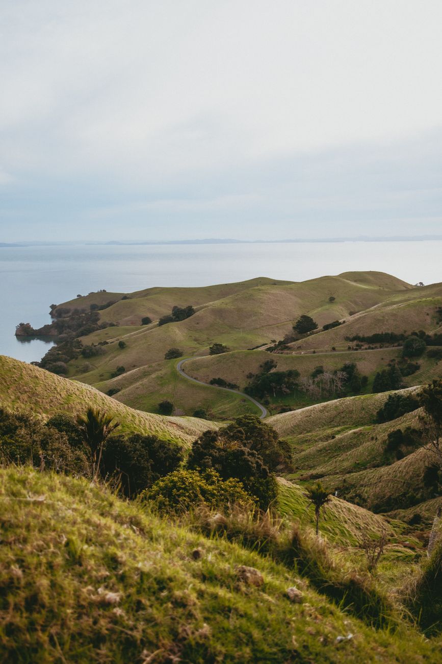
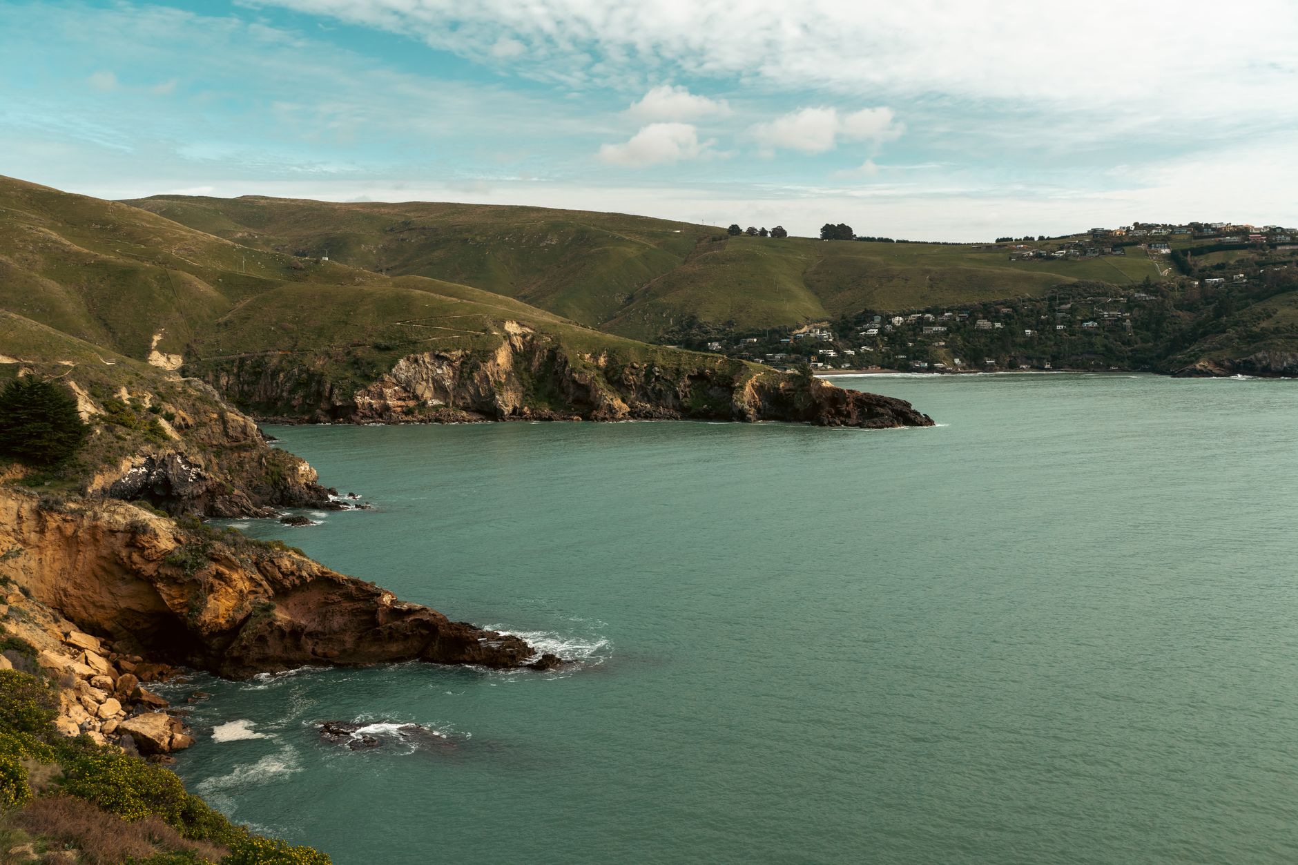
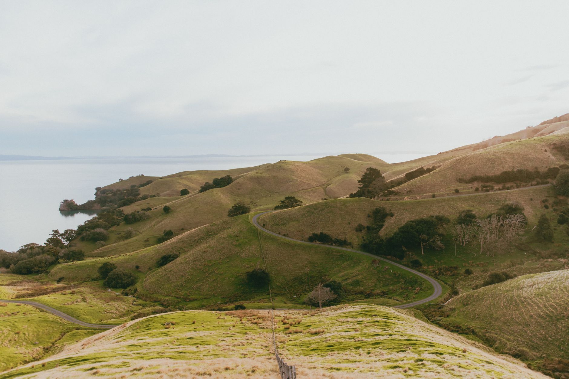
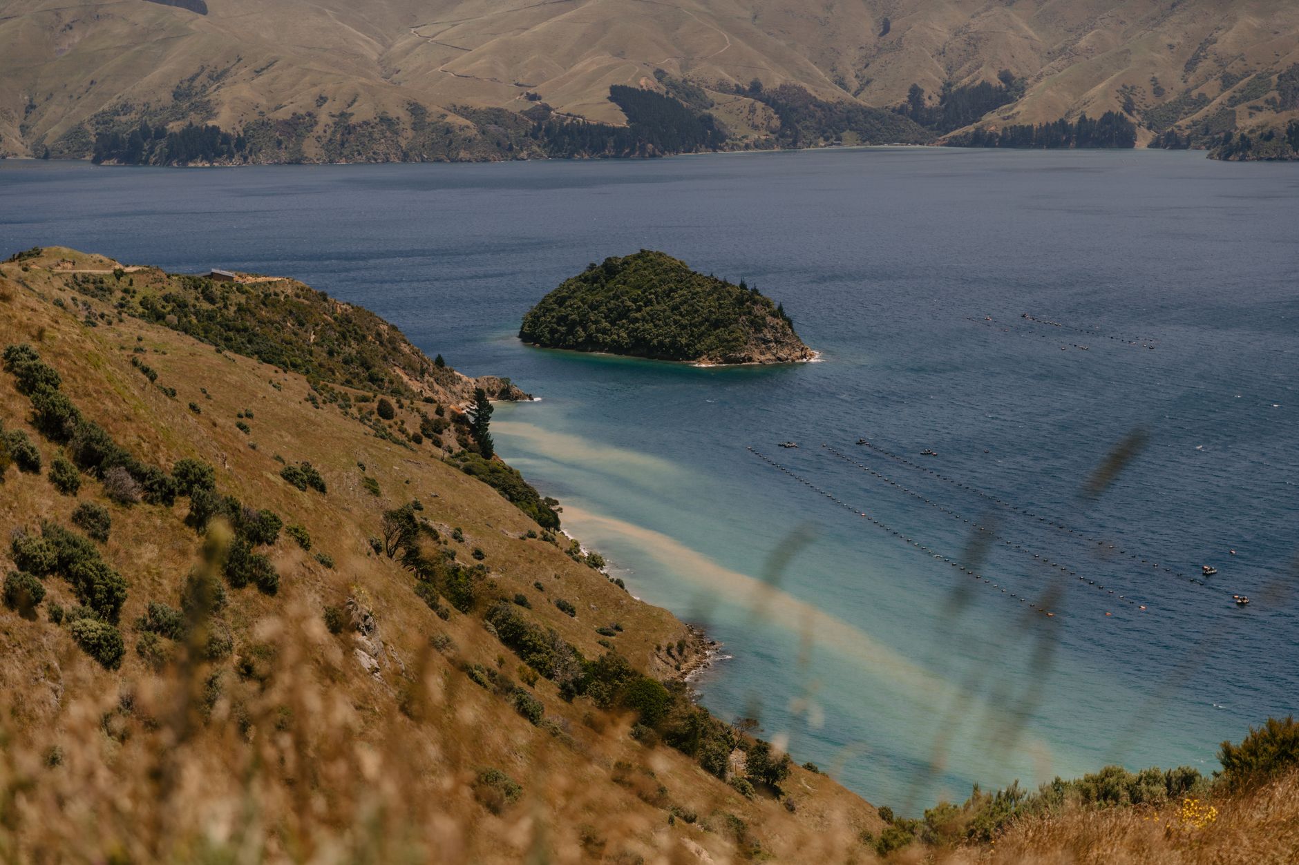
ChristchurchNZ puts Akaroa approximately 86 km and 90 minutes from Christchurch, describing the route across Banks Peninsula as a scenic drive through volcanic landscapes toward Akaroa Harbour. What makes this drive different from most of the roads farther south is the landscape. Rather than huge alpine valleys, glaciers or long mountain passes, Banks Peninsula is all rolling volcanic hills, deep bays, farmland and harbour views. The road becomes increasingly winding as you get deeper into the peninsula, eventually climbing above Akaroa Harbour before dropping toward the water.
Hilltop Viewpoint
If I were driving this route, the main viewpoint I would save is Hilltop, above Akaroa Harbour. It gives you the big panoramic view down across the volcanic harbour and surrounding green hills that makes Banks Peninsula look completely different from the rest of this list. Christchurch tourism material specifically highlights the hilltop vantage points and sweeping harbour views as one of the defining features of the drive.
Is Banks Peninsula Worth Adding to a South Island Road Trip?
If you have twelve days or more, I think it fits very naturally around Christchurch. For a very tight seven or ten-day trip focused mostly on mountains, glaciers and the lower South Island, this would be one of the easier scenic routes to save for another trip. Which is exactly what we did.
ACROSS THE SOUTHERN ALPS
Arthur’s Pass Scenic Drive, SH73
Road: SH73
Route: Christchurch → Arthur’s Pass → Ōtira → West Coast
Christchurch to Arthur’s Pass: Around 150 km
Driving time: Roughly 2 hours to Arthur’s Pass without stops
Road type: Sealed alpine highway, steep and winding in sections
Campervan friendly: Yes, weather permitting
Best viewpoint: Ōtira Viaduct Lookout
We drove it: Yes
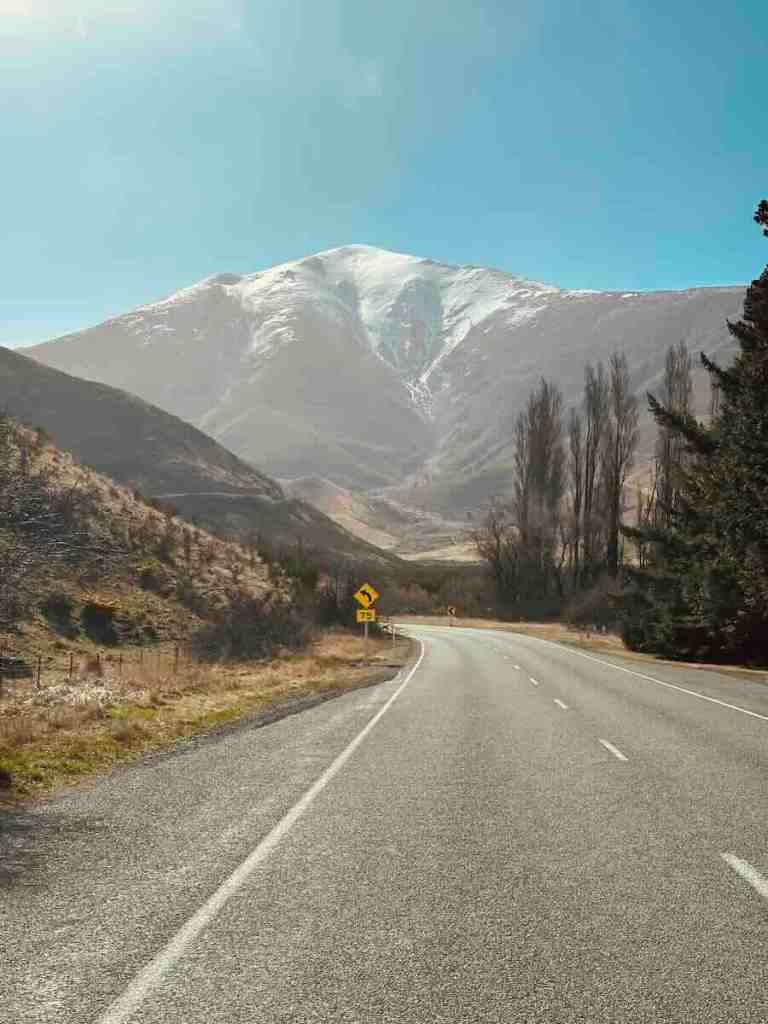
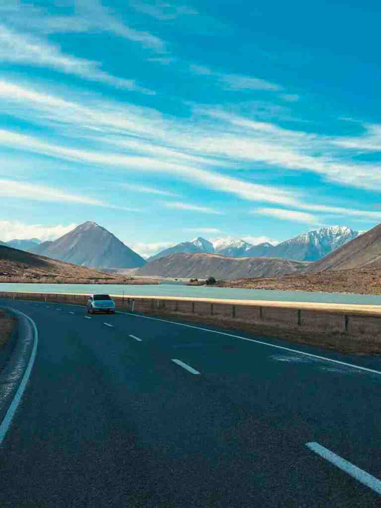
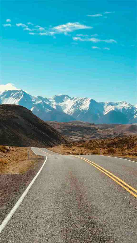
Arthur’s Pass was the point where our road trip properly began to feel like New Zealand. You leave Christchurch behind and the landscape gradually starts getting bigger. The flat Canterbury Plains disappear. The mountains move closer. The road starts climbing. Then suddenly you are properly inside the Southern Alps.
Arthur’s Pass village sits around 150 km from Christchurch and roughly two hours away by road without sightseeing stops. In reality, I would allow considerably more. Not because SH73 is painfully slow, but because the scenery starts demanding your attention long before you reach the pass.
What Is Arthur’s Pass Like to Drive?
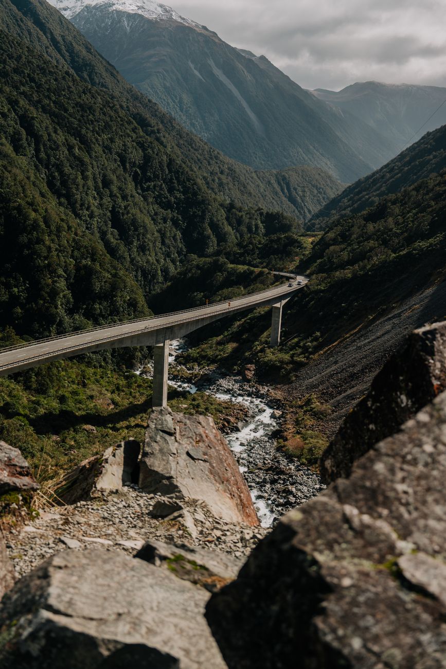
The eastern approach gradually climbs into the mountains before reaching the high alpine landscape around Arthur’s Pass. The western side feels more dramatic. From the pass, the road descends toward Ōtira and the West Coast through much steeper terrain, including the spectacular Ōtira Viaduct. In a motorhome, this is one of those roads where you become very aware that you are driving a small apartment through a mountain range.
Nothing felt unmanageable to us, but I definitely drove it differently than I would a flat highway. Slow down. Use lower gears where appropriate. Let faster traffic pass safely. And don’t spend the entire time staring sideways at the mountains while technically being responsible for steering.
Ōtira Viaduct Lookout
The main viewpoint I would save on this drive is the Ōtira Viaduct Lookout. From above, you can see SH73 cutting through the steep valley below, with the viaduct carrying traffic across terrain that makes you appreciate whoever had to figure out how to build a road here.
This was one of my favourite road viewpoints on the trip because it actually shows the road itself as part of the landscape.
Arthur’s Pass Weather
This is also one of the routes where flexibility matters. SH73 has experienced temporary closures due to snow and ice, including in April and June 2026. If you’re travelling outside summer, check conditions before committing to the crossing. The mountain will still be there tomorrow. Your campervan does not need to prove anything.
INTO THE RAINFOREST
West Coast Highway, SH6
Road: SH6
Route: Hokitika → Franz Josef → Fox Glacier
Hokitika to Franz Josef: Around 140 km
Franz Josef to Fox Glacier: Around 25 minutes
Road type: Sealed highway, generally straightforward but winding in sections
Campervan friendly: Yes
Best for: Rainforest, mountains and wild West Coast atmosphere
We drove it: Yes
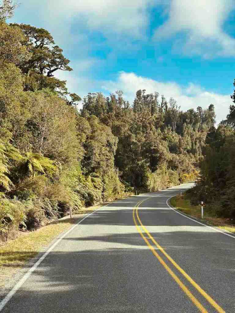
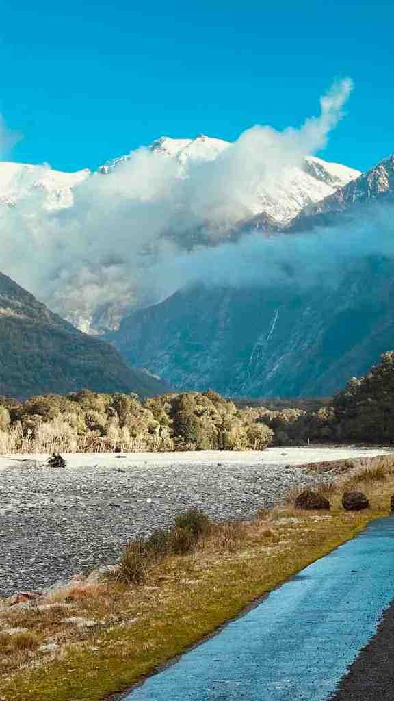
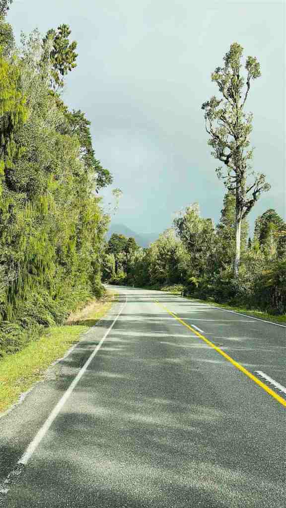
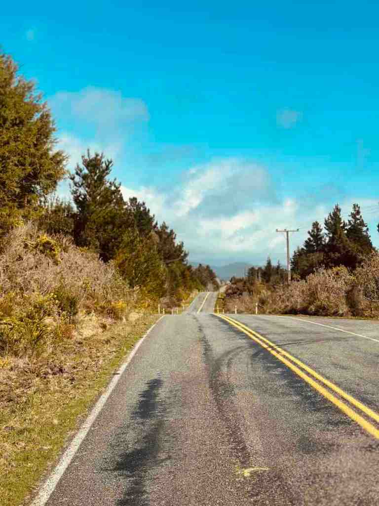
The change when you reach New Zealand’s West Coast is almost ridiculous. Arthur’s Pass is exposed and alpine. Then you descend toward the west and everything becomes green. Very green. The forest starts pushing almost to the edge of the highway, the weather feels moodier and the mountains appear through gaps in the trees.
Tourism New Zealand lists Hokitika to Franz Josef at approximately 140 km and 1 hour 40 minutes, with Franz Josef to Fox Glacier another 25 minutes farther south. Again, those are pure driving times.
What Is SH6 on the West Coast Like?
This stretch isn’t difficult in the way Crown Range or Milford Road can be. It is mainly the atmosphere that makes it special. You’re following one long highway south through rainforest with the Southern Alps never far away. At times the landscape feels almost tropical. Then you remember there are glaciers sitting behind the trees. Tourism New Zealand describes the stretch south from Hokitika as a scenic drive through small settlements, native rainforest and Glacier Country.
The Weather Is Part of It
The West Coast gets a lot of rain. That’s precisely why everything looks like this. Blue skies obviously make the mountains easier to see, but I wouldn’t write this road off because the forecast is moody. Low cloud hanging over dark rainforest can make this part of the island look even wilder. Just make sure moody doesn’t turn into actual severe-weather warnings.
RAINFOREST TO ALPINE LAKES
Haast Pass, SH6
Road: SH6
Route: Fox Glacier → Haast → Haast Pass → Makarora → Wānaka
Distance: Around 262 km from Fox Glacier to Wānaka
Driving time: Around 3 hours 15 minutes without sightseeing
Road type: Sealed, winding mountain highway
Campervan friendly: Yes
Best viewpoints: Knights Point and The Neck / Manuhaea
We drove it: Yes
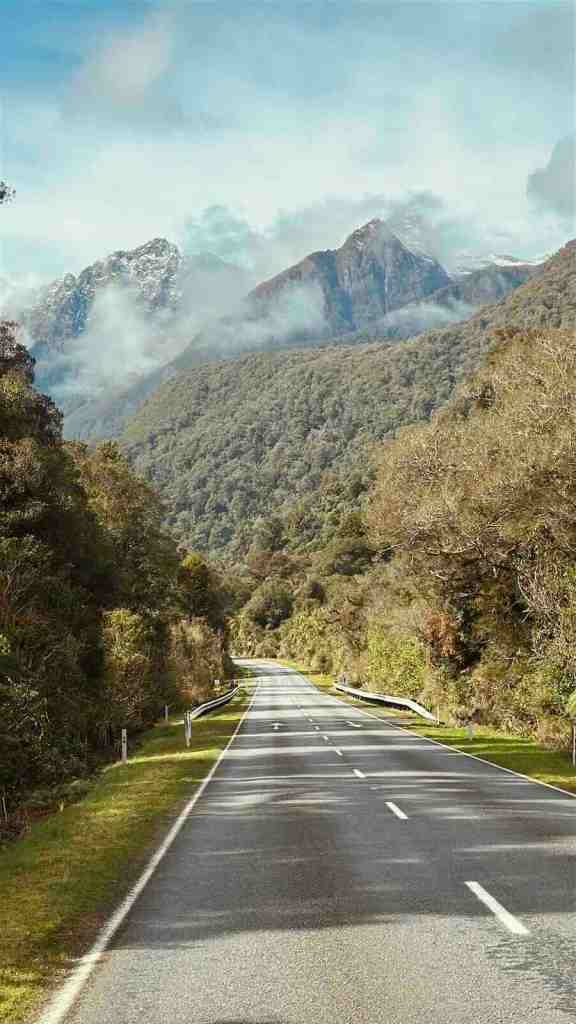
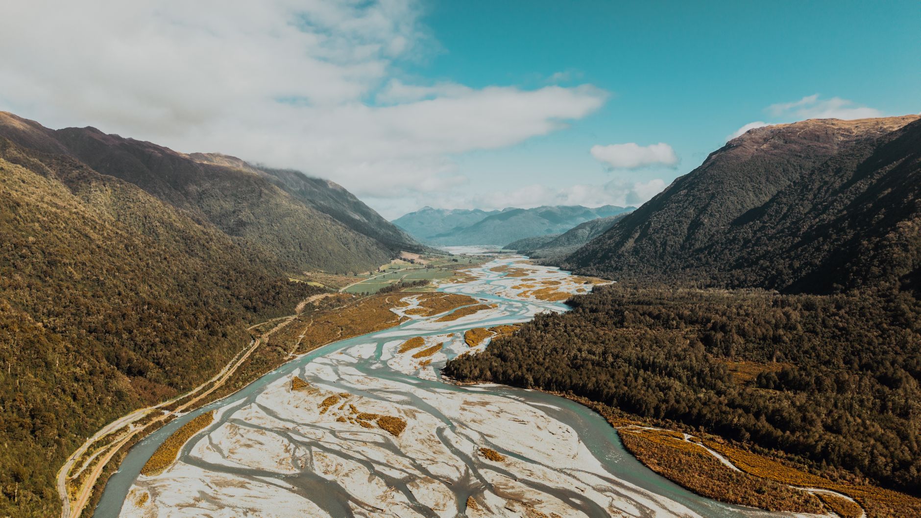
Haast Pass might be the road on this list where the scenery changes most dramatically. You begin surrounded by West Coast rainforest. The road follows rivers through deep valleys. You cross the mountains. And eventually the world suddenly opens into huge alpine lakes around Wānaka and Lake Hāwea.
Tourism New Zealand lists Fox Glacier to Wānaka at roughly 262 km and 3 hours 15 minutes via SH6. Do not plan this as a three-hour drive. We would have needed significantly more self-control than we possess.
What Is Haast Pass Like to Drive?
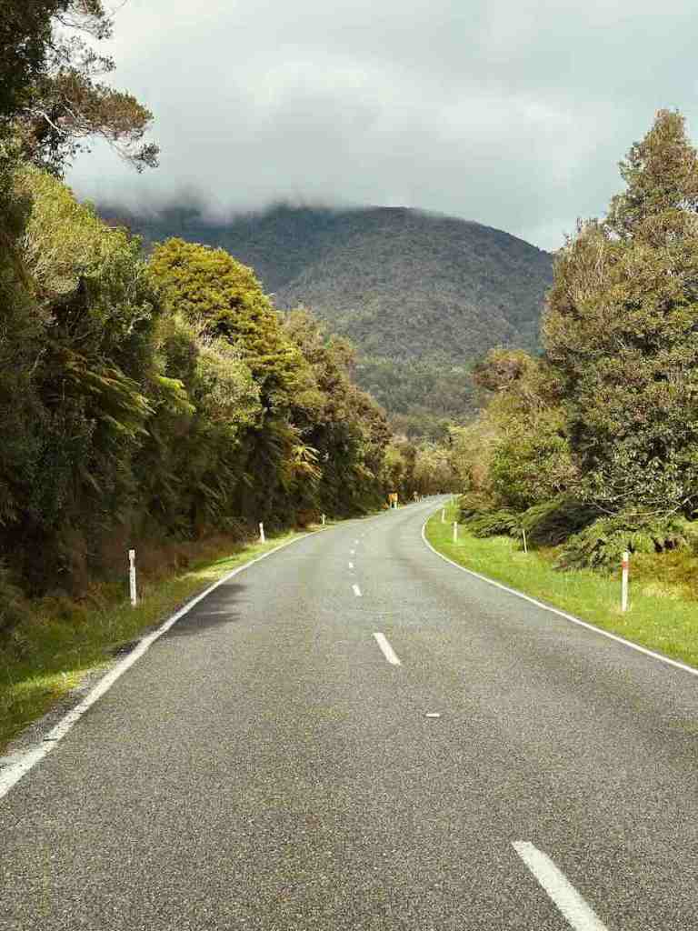
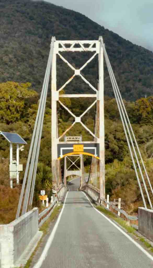
The western section feels enclosed. Forest surrounds the road, rivers appear beside you and mountains rise steeply around the valley. Then, as you cross Haast Pass and continue toward Makarora, the landscape gradually becomes wider and more open.
Tourism New Zealand describes the road as snaking through Mount Aspiring National Park before emerging toward Wānaka, with waterfalls and river scenery throughout the journey. That changing landscape is what made this road stand out for me. It doesn’t feel like one continuous type of scenery. It feels like travelling between two completely different versions of New Zealand.
Knights Point Viewpoint
If you’re treating the broader Fox-to-Haast stretch as part of this scenic drive, Knights Point gives you one of the big coastal views before the road turns properly inland. Use the formal viewpoint rather than attempting to improvise a stop beside SH6.
The Neck / Manuhaea
Near the eastern end of the drive, the scenery changes again at The Neck, the narrow strip of land separating Lake Wānaka and Lake Hāwea.
Wānaka’s official tourism site describes Manuhaea / The Neck as the narrow isthmus between the two lakes and specifically highlights it as a photo stop along SH6. It is one of those places where you realise you have been driving for hours and somehow the landscape is still finding new ways to show off.
TWO LAKES, ONE ROAD
Lake Hāwea & The Neck, SH6
Road: SH6
Route: Route: The Neck / Manuhaea → Lake Hāwea → Wānaka
Road type: Sealed, generally easy
Campervan friendly: Yes
Best viewpoint: The Neck
We drove it: Yes
Technically, this drive is connected to Haast Pass. Visually, I think it deserves its own mention.
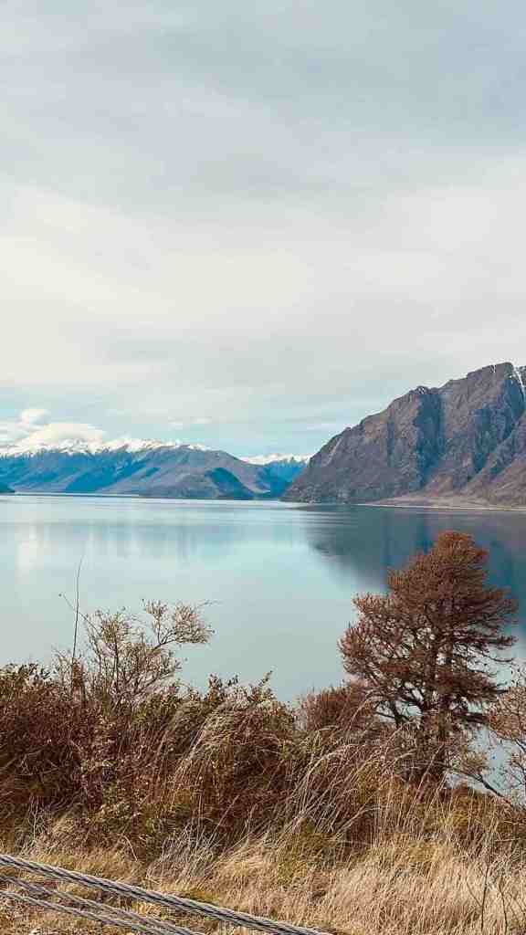
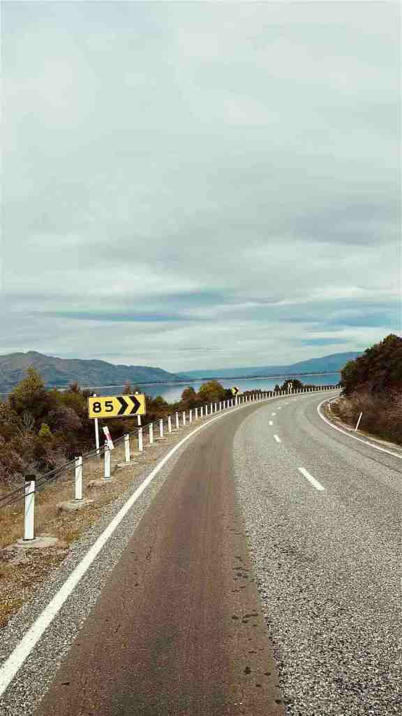
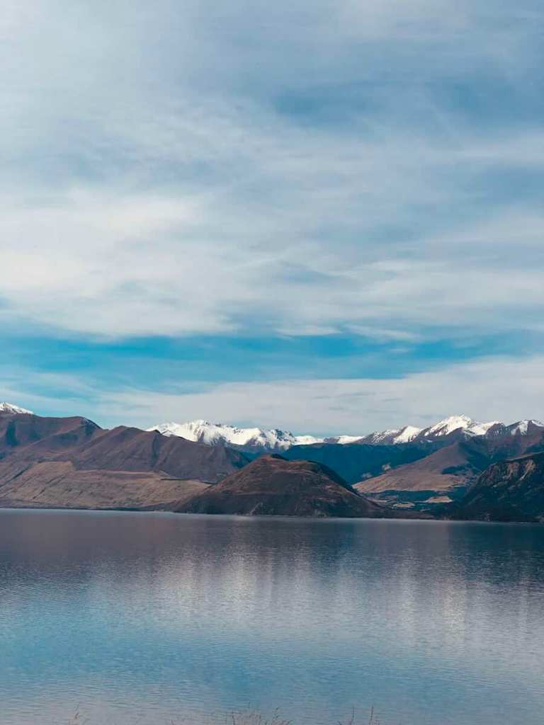
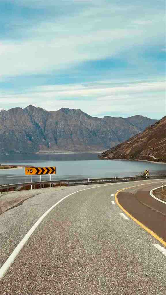
SH6 runs alongside Lake Hāwea before reaching The Neck, where only a narrow piece of land separates Lake Hāwea from Lake Wānaka. The road itself is straightforward. The scenery absolutely is not.
Wānaka’s official tourism site describes the stretch along Lake Hāwea toward The Neck as one of the area’s most spectacular roads, with lake and mountain views throughout.
The Neck Viewpoint
This is the obvious place to pull over. From the viewpoint you can appreciate how close the two enormous alpine lakes actually are. It also gives you a completely different sense of the geography than simply staring at a map.
We stayed at Lake Hāwea during our trip, and this entire stretch ended up being one of those quieter parts of the route that I hadn’t expected to love quite as much as I did. Not everything needs a dramatic mountain pass to be memorable.
Sometimes an enormous blue lake will do.
OVER THE TOP
Crown Range Road
Road: Crown Range Road
Route: Wānaka → Crown Range → Queenstown
Distance: Around 67 km via the direct route
Driving time: Around 1 hour without long stops
Road type: Sealed alpine road, steep and winding
Campervan friendly: Yes in suitable conditions
Best viewpoints: Crown Range summit and Crown Terrace
We drove it: Yes
There are two main routes between Wānaka and Queenstown. One travels through Cromwell. The other climbs over the Crown Range. We chose the fun one.
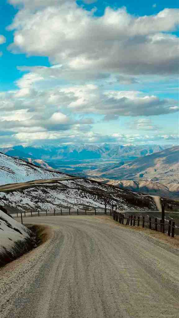
Crown Range Road reaches approximately 1,121 metres and Tourism New Zealand describes it as the highest main road in the country. It is also one of the roads where driving a 7.4-metre motorhome suddenly makes you pay a little more attention.
What Is Crown Range Road Like to Drive?
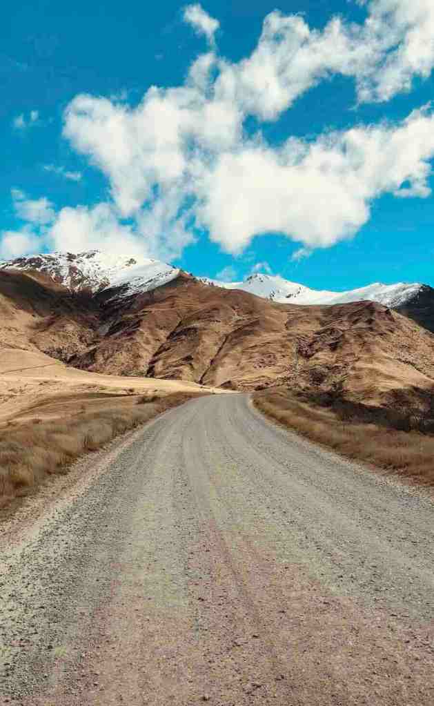
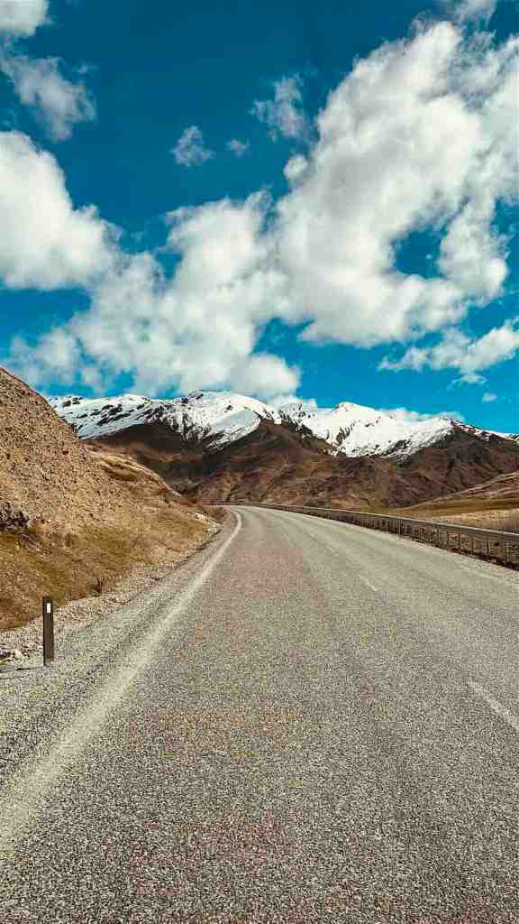
It is fully sealed. You do not need a special vehicle. But parts of it are steep, narrow and winding, particularly approaching Queenstown. The Wānaka side feels broader as you travel through the Cardrona Valley before climbing toward the summit. The Queenstown side is more dramatic.
The road drops down through a series of tight bends with huge views across the Wakatipu Basin.
Crown Range Summit Viewpoint
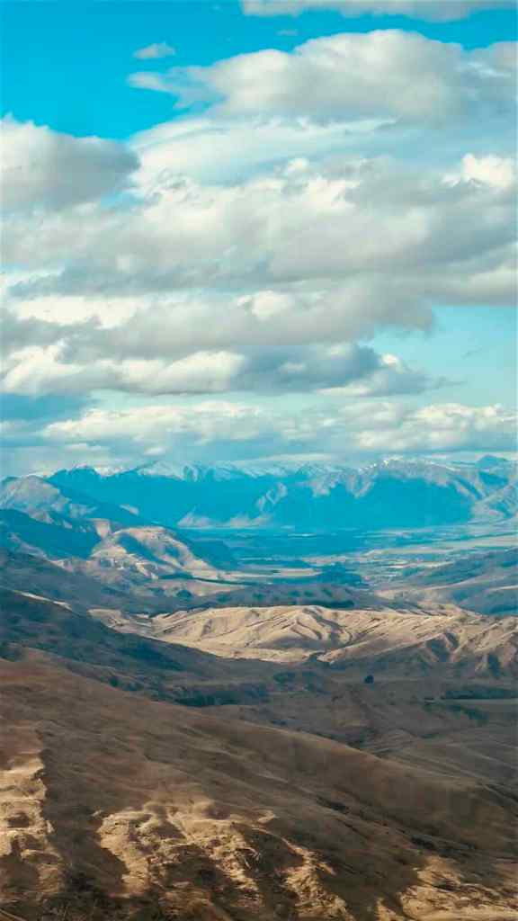
The obvious place to stop is around the Crown Range summit. At more than 1,100 metres above sea level, you get wide views over the surrounding high country.
Crown Terrace Viewpoint
Farther toward Queenstown, the Crown Terrace viewpoints look down across Arrowtown and the wider basin toward the mountains. This is probably my favourite part of the drive.
Not because the road is particularly long, but because you go from high alpine terrain to looking down across an enormous valley surprisingly quickly.
Should You Drive Crown Range in a Campervan?
We did. In good weather, I would happily do it again.
Tourism New Zealand warns that snow and ice can make the road difficult in winter and advises carrying snow chains between May and September. If the road conditions are poor, or you simply hate steep mountain roads, take the longer route through Cromwell. There is no medal waiting in Queenstown for choosing the scarier option.
LAKE WAKATIPU ALL THE WAY
Queenstown to Glenorchy
Road: Glenorchy-Queenstown Road
Route: Queenstown → Glenorchy
Distance: Around 45 km
Driving time: Around 45 minutes
Road type: Sealed lakeside road
Campervan friendly: Yes
Best viewpoint: Bennett’s Bluff
We drove it: Yes
This road has no business taking only 45 minutes. Technically, it does.
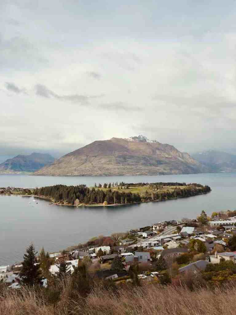
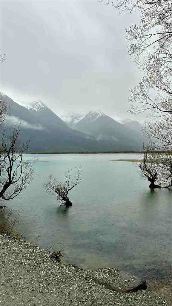
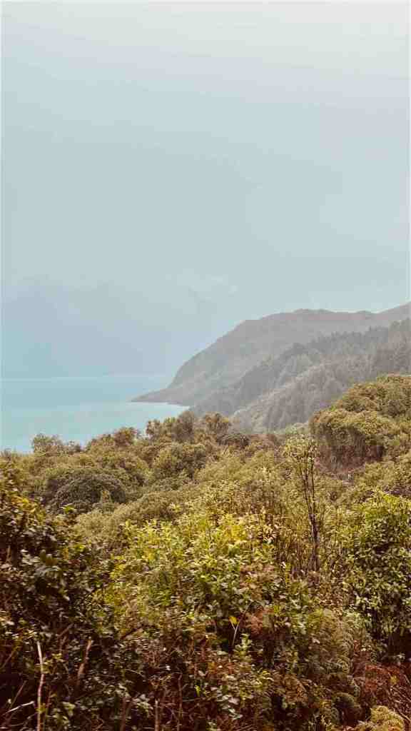
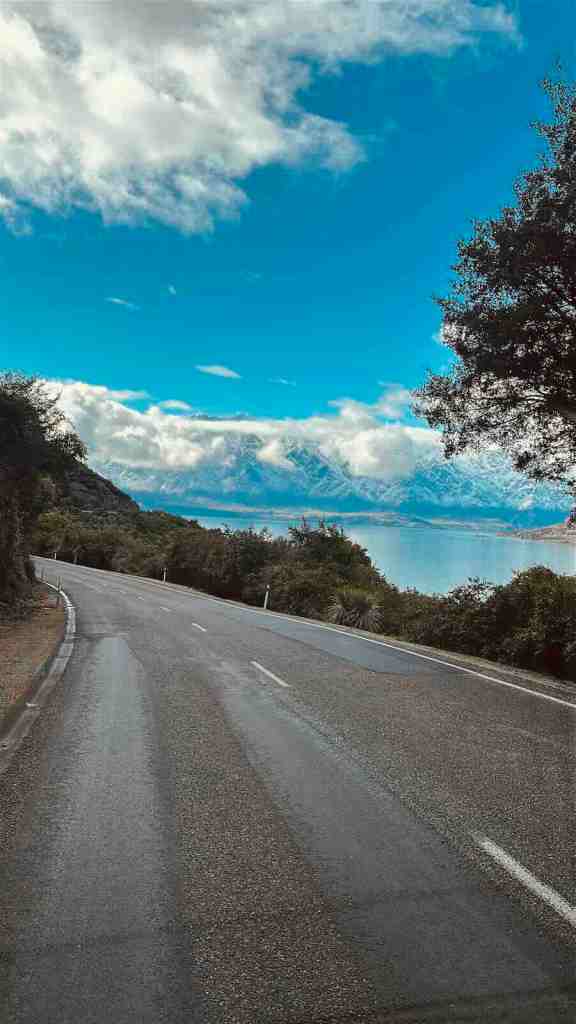
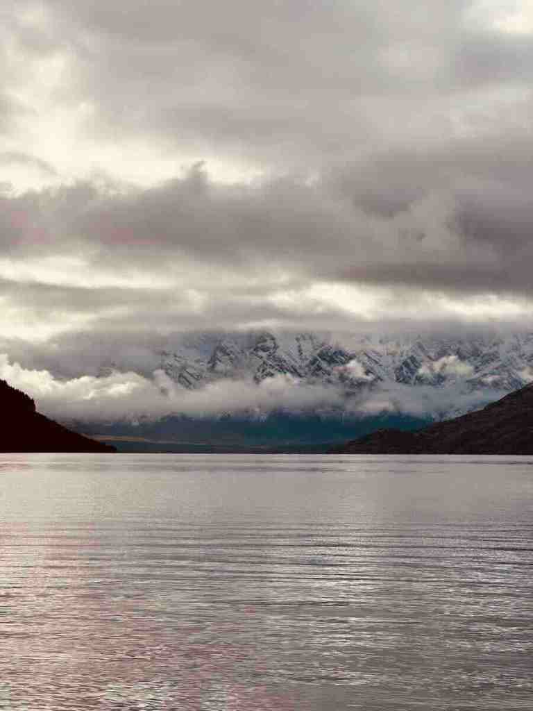
Queenstown’s official tourism site gives the Queenstown to Glenorchy drive as approximately 45 km and 45 minutes. Emotionally, it takes four years. The road follows Lake Wakatipu almost the entire way, with steep mountains rising on the opposite side of the water.
Every corner seems to reveal another view that makes you want to stop.
What Is the Queenstown to Glenorchy Road Like?
Compared with Crown Range, this is easy driving. It is paved, there are no enormous alpine climbs and it works perfectly well in a campervan. That doesn’t mean you should rush it.
The road twists around the shoreline, repeatedly opening into huge views across Lake Wakatipu toward Cecil Peak, Walter Peak and the surrounding mountains.
Bennett’s Bluff Viewpoint
If you stop at only one formal viewpoint, make it Bennett’s Bluff. The viewpoint sits roughly halfway between Queenstown and Glenorchy and looks across the sweeping curve of Lake Wakatipu toward the mountains.
QueenstownNZ specifically highlights Bennett’s Bluff as the major viewpoint on the road. And this is where the whole “45-minute drive” becomes slightly optimistic. Because you are not going to stop once.
THE ONE WE MISSED
Milford Road, SH94
Road: SH94
Route: Te Anau → Milford Sound / Piopiotahi
Distance: Approximately 120 km
Minimum driving time: Around 2 hours
Realistic scenic driving time: Around 3–4 hours
Road type: Remote alpine highway
Campervan friendly: Yes for confident drivers in suitable conditions
Best viewpoints: Eglinton Valley and the Homer Tunnel approaches
We drove it: No
Milford Road is the other route on this list that we didn’t drive ourselves. Milford Sound was part of our original plans, but ultimately it didn’t happen on this trip.
I’m still including SH94 because it is consistently recognised as one of the South Island’s major scenic roads, and pretending it doesn’t belong here simply because we missed it would make this guide less useful.
So this section is based on current information from Visit Fiordland and NZTA, rather than our own driving experience.
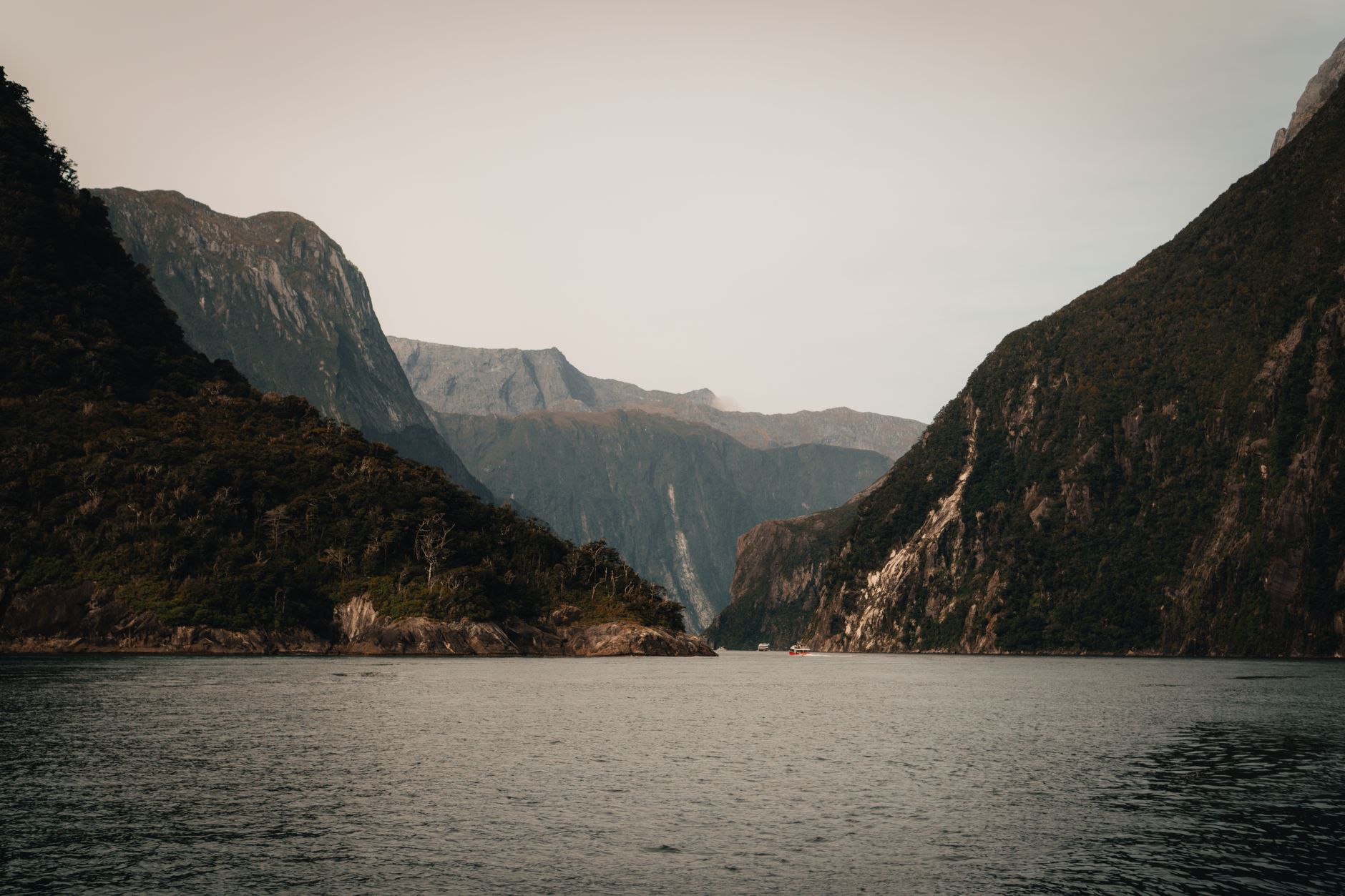
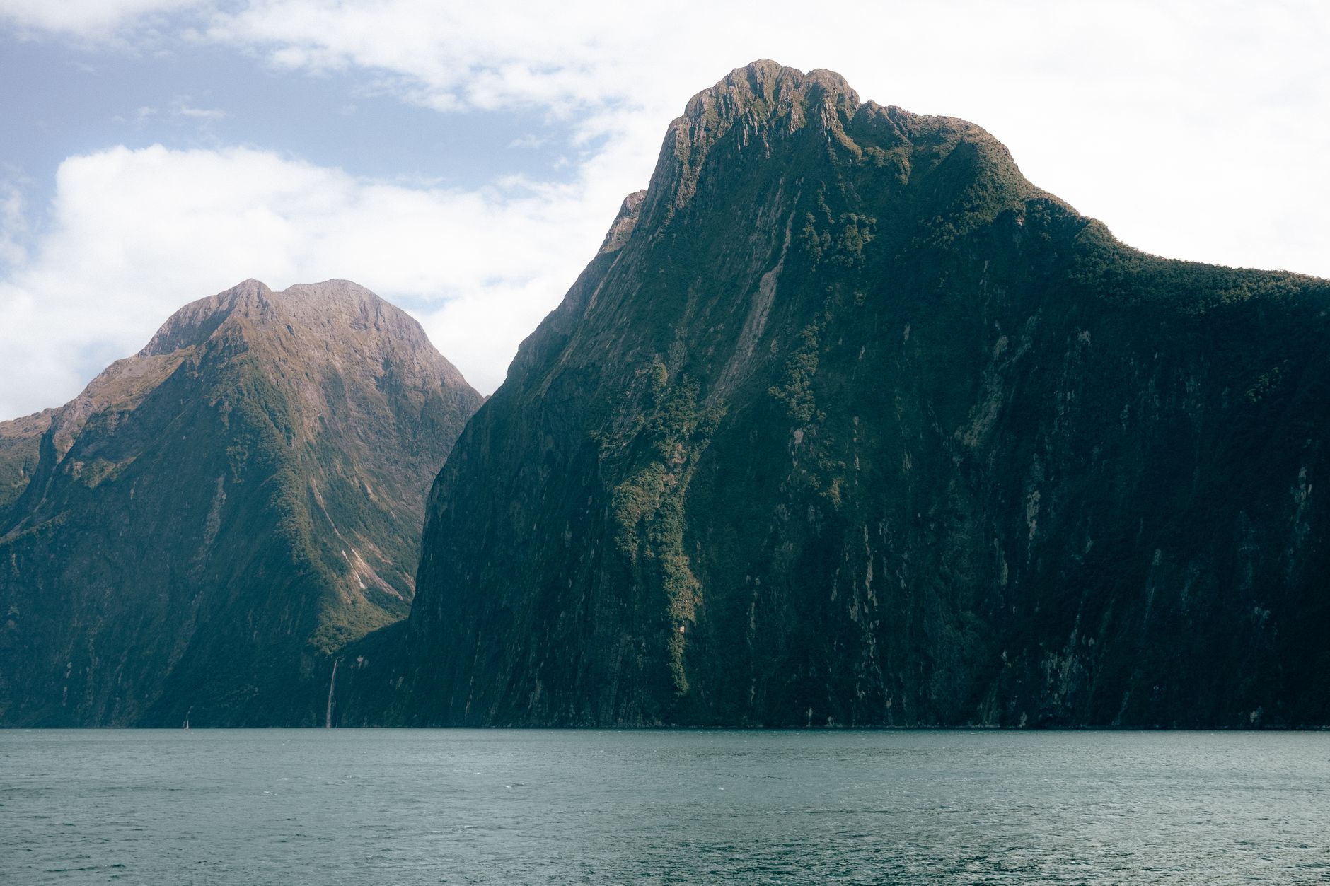
What Is Milford Road Like?
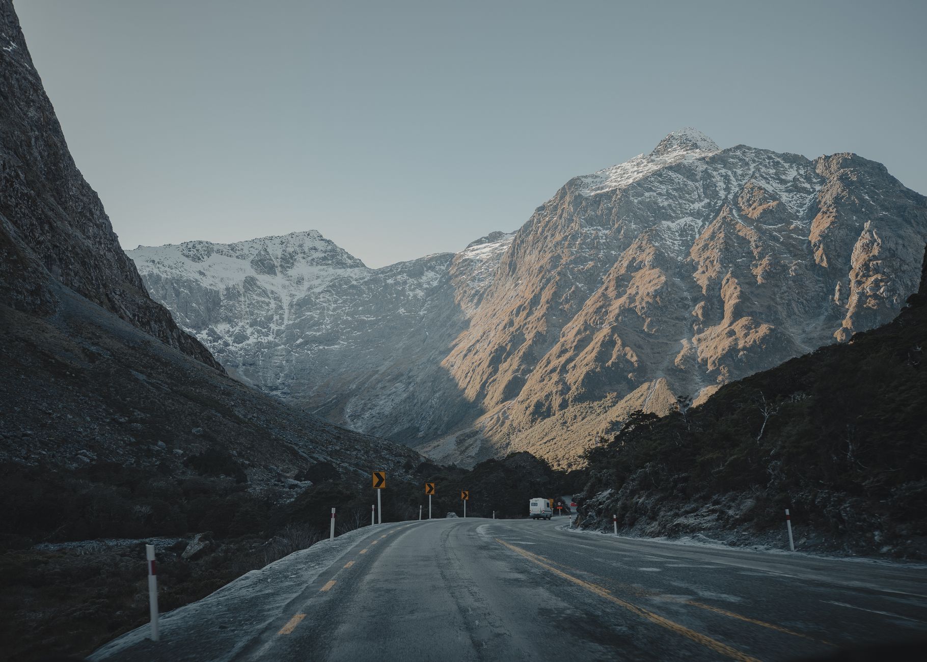
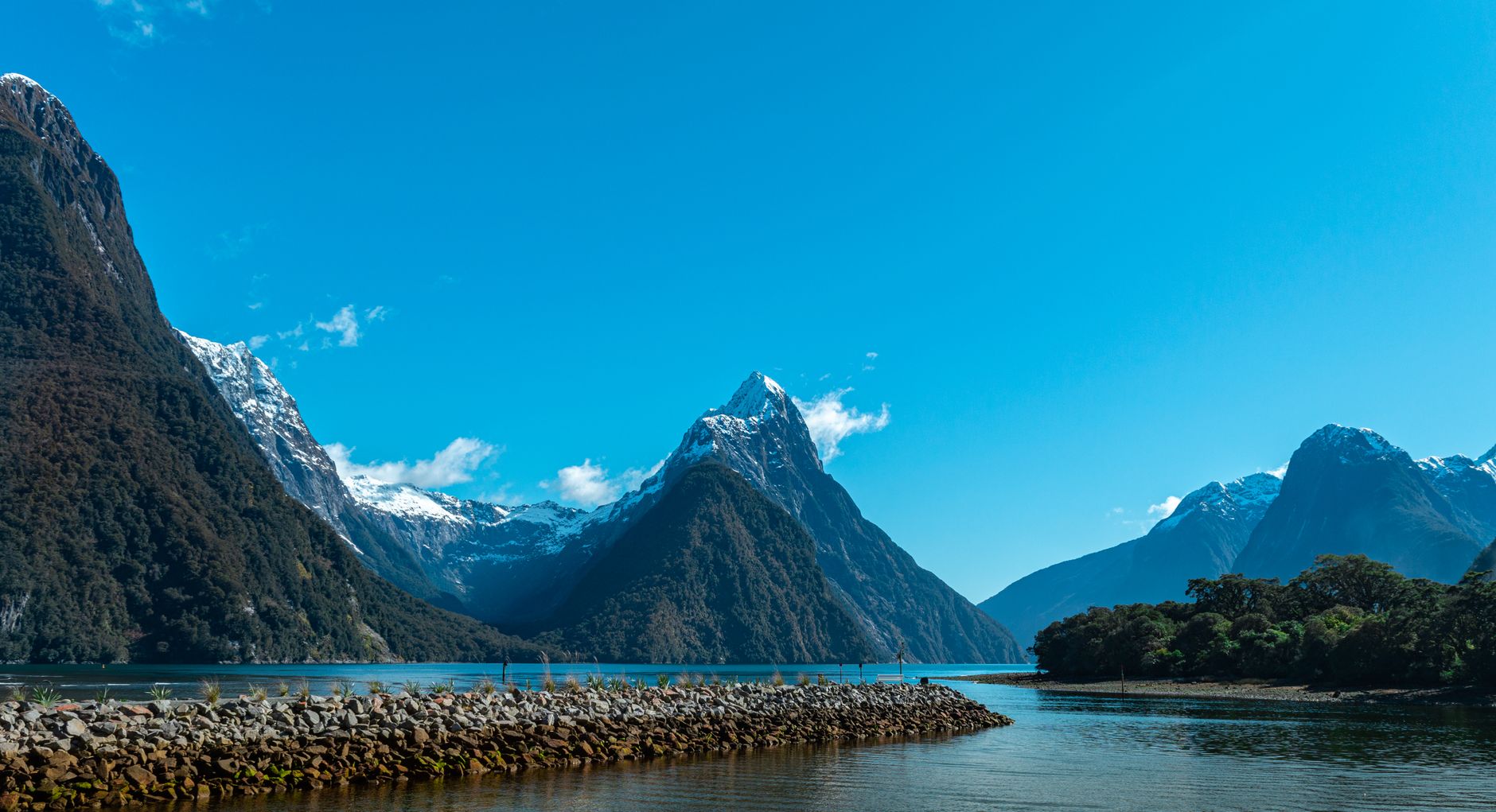
SH94 runs around 120 km from Te Anau to Milford Sound / Piopiotahi through Fiordland National Park. Visit Fiordland gives a minimum non-stop driving time of around two hours but recommends allowing at least four hours if you want to stop and enjoy the scenery.
The road travels through valleys, native forest and increasingly dramatic alpine terrain before reaching Homer Tunnel and descending toward Milford Sound. And unlike most roads in this article, it is a dead end. There is one road in. The same road comes back out.
Eglinton Valley
One of the recognised roadside viewpoints is Eglinton Valley, where the road runs through a wide glacial valley surrounded by steep mountain walls. This is exactly the kind of place where stopping only at a formal pull-off matters. You’re still on a working state highway, not a private photography studio.
Homer Tunnel
The approach to Homer Tunnel is another of the road’s defining sections. SH94 climbs into increasingly steep alpine terrain before entering the 1.2 km tunnel through the mountains.
Traffic controls can cause delays here, which is one of several reasons Visit Fiordland warns against planning the drive purely around Google Maps times.
Milford Road Conditions
This is the road I would be most obsessive about checking before departure. SH94 is Milford Sound’s only road connection and passes through avalanche terrain.
NZTA operates a dedicated Milford Road status page showing current road conditions, avalanche information and travel warnings. Mobile reception along this remote route can be limited and unreliable, so I would download your map, road-status information and any booking details before leaving Te Anau.
So before leaving Te Anau: download the route, check the road, check the weather and then disappear into Fiordland. Not the other way around.
CENTRAL OTAGO STARTS HERE
Kawarau Gorge, SH6
Road: SH6
Route: Queenstown → Gibbston → Kawarau Gorge → Cromwell
Distance: Around 59 km
Driving time: Around 50 minutes
Road type: Sealed highway through river gorge
Campervan friendly: Yes
Best for: River scenery and dry Central Otago landscapes
We drove it: Yes
Kawarau Gorge gets less attention than Crown Range, Milford Road or Haast Pass. That doesn’t mean it deserves less.
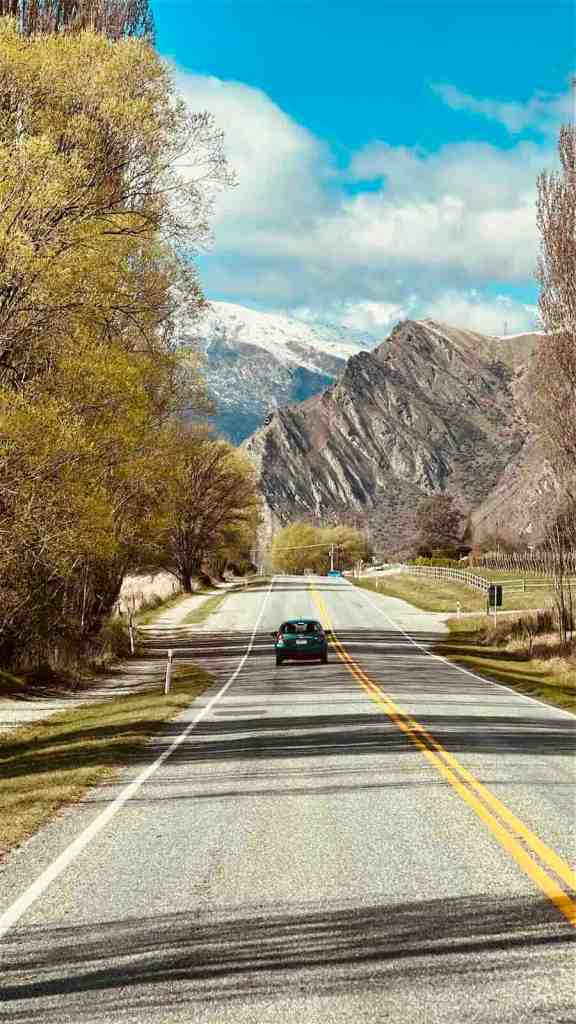
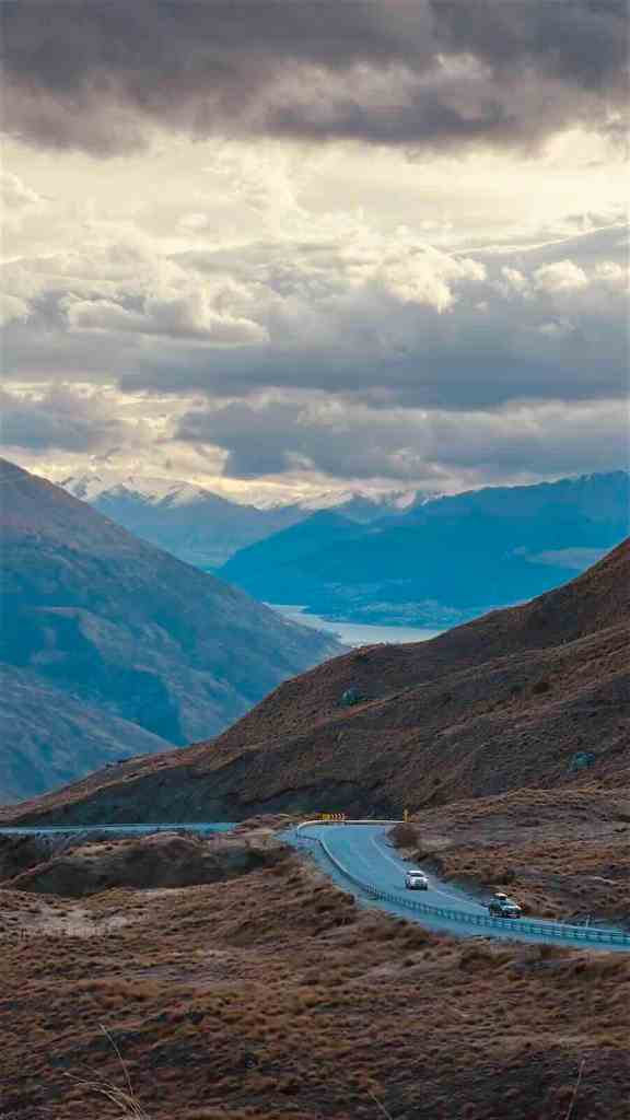
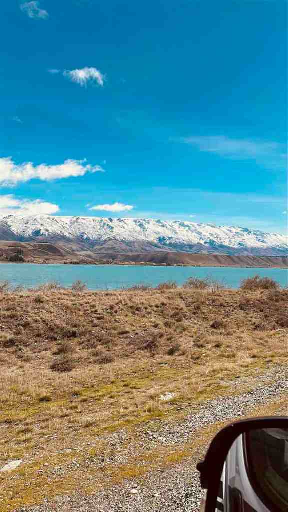
The drive from Queenstown toward Cromwell follows SH6 east through increasingly dry Central Otago landscapes, with the Kawarau River cutting through the gorge beside you.
Official Tourism New Zealand material puts Queenstown to Cromwell at around 59 km and 50 minutes.
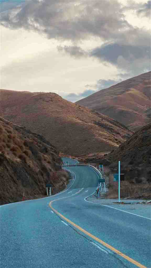
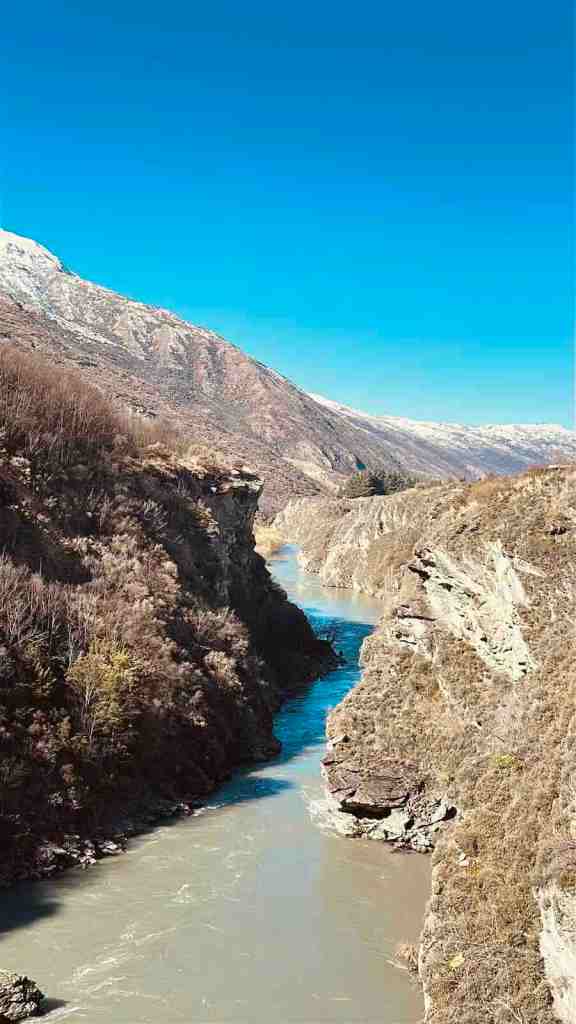
What Makes Kawarau Gorge Different?
By this point in the trip, we had driven through rainforest, alpine passes and huge lake scenery. Then Central Otago changes the colour palette. The mountains become browner and drier. The vegetation changes. Rocky cliffs appear around the river. The landscape feels more exposed. The Kawarau River runs through a dramatic gorge surrounded by the dry landscapes of Central Otago.
Viewpoints Along Kawarau Gorge
There isn’t one single viewpoint here that dominates the drive in the way Bennett’s Bluff does near Glenorchy. Instead, use the marked roadside pull-offs where available and enjoy the gorge itself as it opens and closes around SH6. This road is more about the continuous landscape than one hero viewpoint.
GOLDEN MOUNTAINS
Lindis Pass, SH8
Road: SH8
Route: Cromwell → Tarras → Lindis Pass → Ōmarama
Driving time: Around 1 hour 20 minutes without stops
Road type: High-country highway
Campervan friendly: Yes
Best viewpoint: Lindis Pass Scenic Lookout
We drove it: Yes
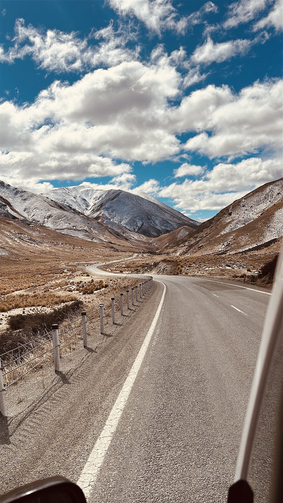
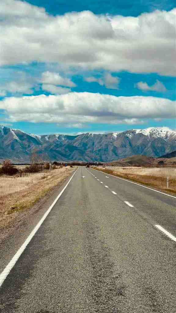
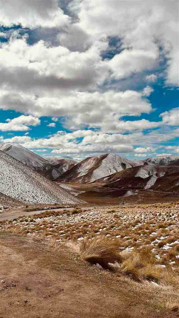
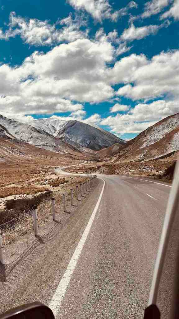
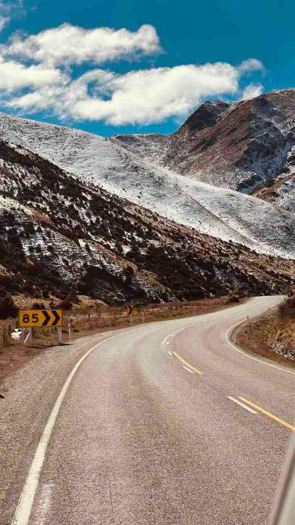
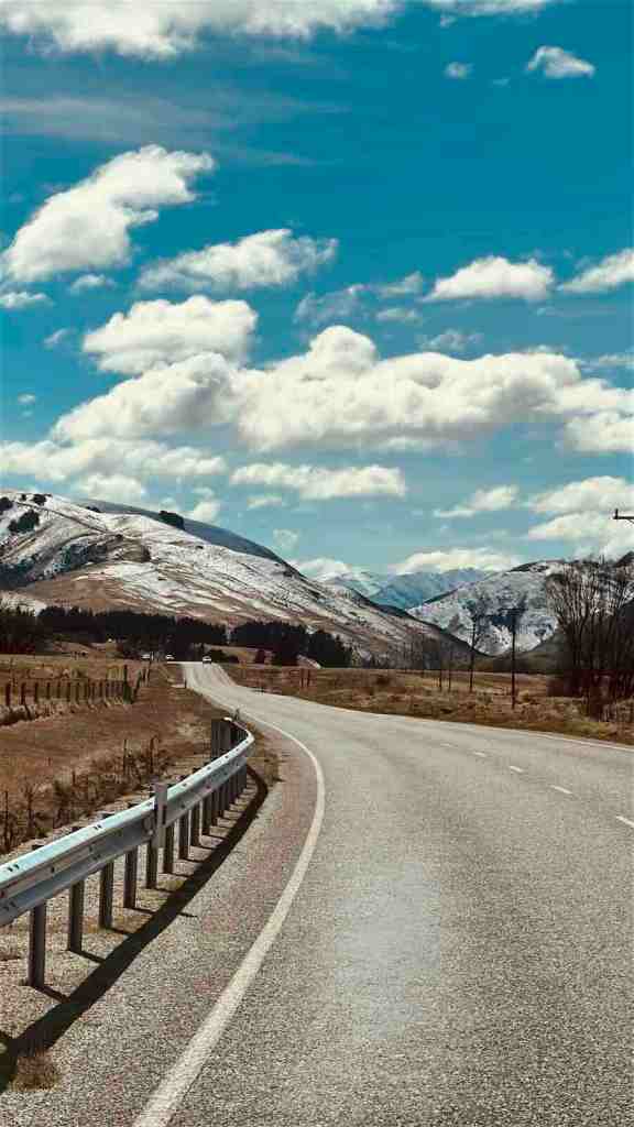
Lindis Pass looks nothing like Haast Pass. And that is exactly why I loved it. There’s no rainforest. No huge lake immediately beside the road. No waterfalls. Instead, you get massive golden tussock-covered hills rolling into the distance with SH8 cutting straight through them.
What Is Lindis Pass Like to Drive?
The road itself is relatively straightforward. There are long sweeping bends rather than the tight switchbacks you get on Crown Range. The biggest feature is scale. The surrounding hills are enormous, almost empty and completely exposed. On a clear day, it feels like driving through a landscape that somebody forgot to put buildings in. Which is ideal.
Lindis Pass Scenic Lookout
The main formal viewpoint sits near the top of the pass. There is parking beside the highway and a short walk takes you slightly higher for a broader view across the tussock landscape. This is one of the places where I would absolutely get out rather than only taking photos through the windscreen.
Lindis Pass in Snow
Do not underestimate the elevation. SH8 through Lindis Pass was temporarily closed because of snow in June 2026, and NZTA continued warning drivers about remaining ice after reopening.
Spring can still bring wintry conditions too. We drove it in September, so checking road conditions before leaving Cromwell was non-negotiable.
THE ROAD I WOULD DRIVE AGAIN TOMORROW
Mount Cook Road, SH80
Road: SH80 / Aoraki Mount Cook Highway
Route: Lake Pūkaki → Aoraki/Mount Cook
Distance: Around 55 km
Driving time: Around 45 minutes
Road type: Open rural highway with long sweeping sections
Campervan friendly: Yes
Best viewpoint: Peter’s Lookout
We drove it: Yes
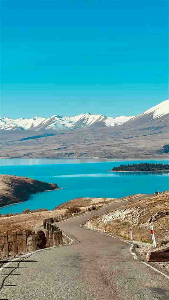
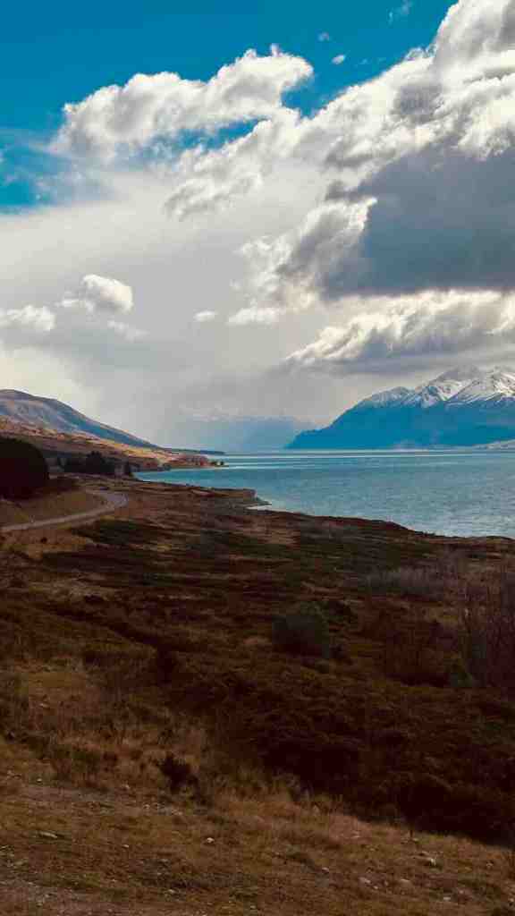
If somebody made me choose one road from this entire article to drive again tomorrow, I think it would be this one. Mount Cook Road begins at the SH8 junction near Lake Pūkaki and follows the lake north toward Aoraki/Mount Cook National Park.
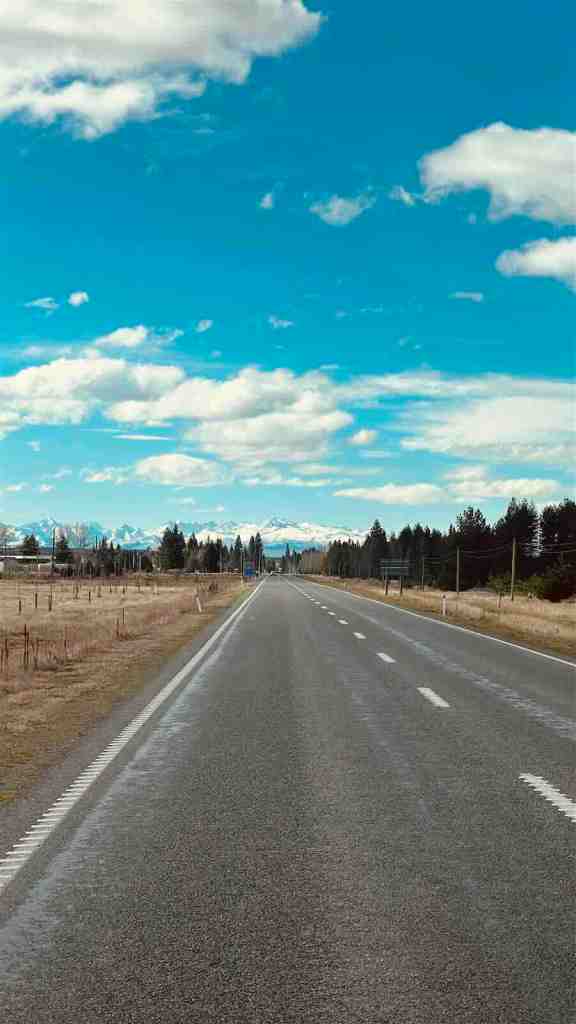
The road itself is simple. That almost makes it better. No huge switchbacks. No dramatic tunnels. Just one long road, a ridiculous turquoise lake and mountains getting larger through the windscreen.
NZTA describes SH80 as the key rural route connecting SH8 with Aoraki/Mount Cook, with long sweeping sections carrying high numbers of visitors toward the national park.
Why Mount Cook Road Is So Good
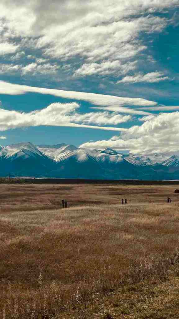
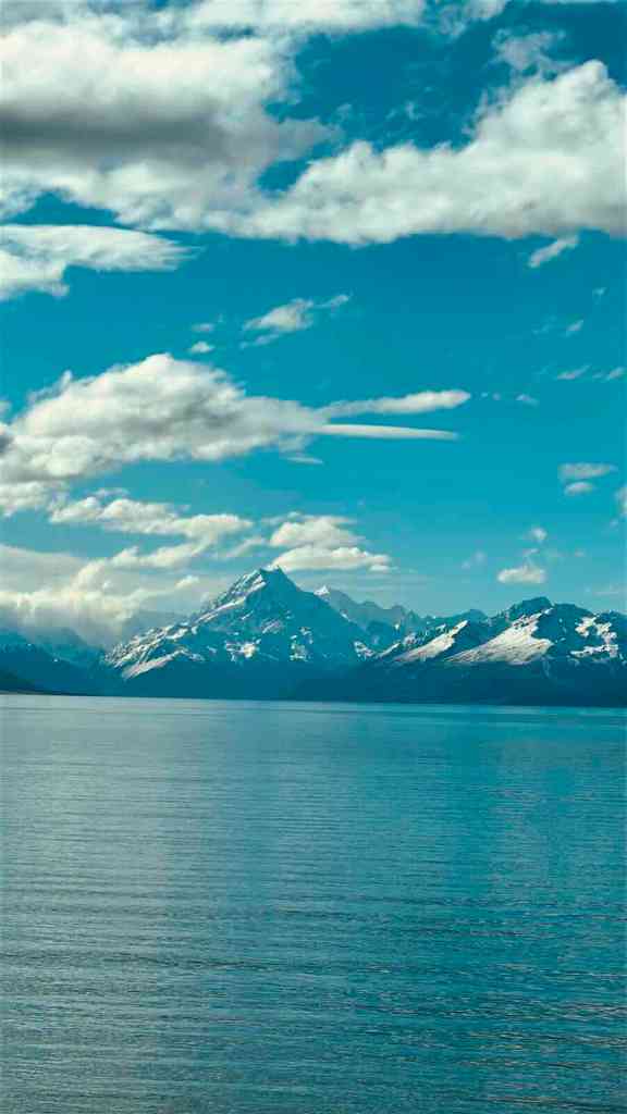
Aoraki doesn’t suddenly appear at the end. It gradually takes over. At first you can see mountains in the distance. Then they become larger. Then larger again. Until suddenly the entire front windscreen looks like somebody changed the wallpaper.
Lake Pūkaki sits beside much of the route, giving the drive that almost ridiculous combination of turquoise water, dry foreground and snow-covered mountains.
Peter’s Lookout
The most famous formal viewpoint on SH80 is Peter’s Lookout. The view looks directly along the road toward Lake Pūkaki and Aoraki beyond it. There are also proper pull-over areas along the highway. Use them.
Do not stand in the middle of SH80 because somebody on Instagram did it. Your photo will not become more iconic because it contains an approaching campervan.
A Very Personal Piece of This Road
Lake Pūkaki also became particularly important to us because this is where Idriss and I got engaged during the trip.
So there is absolutely no pretending I am objective about this part of New Zealand anymore.
But even without that, Mount Cook Road was already one of the drives I had been most excited about before the trip. It lived up to it.
We also spent the night freedom camping at Lake Pūkaki before driving SH80 toward Aoraki the following day, which made the whole experience even better.
You can see exactly where we camped and the other campsites we used in my Freedom Camping New Zealand South Island Guide.
Check the Weather Before Driving SH80
If you have any flexibility in your itinerary, use it here. Aoraki can disappear completely behind cloud. A blue-sky day transforms this drive.
SH80 can also be affected by snow and ice. NZTA issued warnings for the Lake Pūkaki to Aoraki/Mount Cook road during winter 2026, and current Journey Planner information should always take priority over whatever your itinerary says.
OUR FAVOURITES
Which South Island Scenic Drives Did I Love Most?
Trying to put these roads into one neat ranking feels slightly pointless because they’re completely different.
So this is how I would divide them instead.
Most beautiful overall: Crown Range, Lindis Pass & Mount Cook Road
Most dramatic mountain drive: Arthur’s Pass
Biggest landscape transformation: Haast Pass
Best lake drive: Queenstown to Glenorchy
Most fun alpine road: Crown Range
Most underrated: Kawarau Gorge
Best wide-open landscape: Lindis Pass
Best rainforest drive: West Coast SH6
Best short scenic stretch: Lake Hāwea and The Neck
The two I can’t personally judge against the others are Banks Peninsula and Milford Road, because we didn’t drive them on this trip. Based on the landscapes and current official route information, both absolutely deserve to be on a South Island scenic-driving shortlist. But I’m not going to pretend I personally drove something I didn’t.
CAMPERVAN REALITY
Are These Scenic Drives Campervan Friendly?
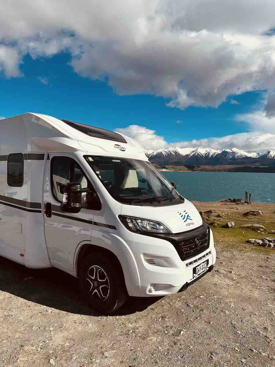
We drove almost all of the routes above in our Wilderness motorhome. It was 7.4 metres long. Basically a studio apartment with indicators. And none of the roads we personally drove made me think, “We absolutely should not be here in this thing.” That said, driving a larger motorhome changes how you approach them.
Give Yourself More Time
A campervan naturally moves more slowly on winding roads. Then add viewpoints, photo stops, bathroom breaks and the inevitable discussion about whether the lake you just passed was somehow bluer than the previous blue lake. Your driving day becomes longer very quickly.
Let Faster Traffic Pass
If traffic starts stacking up behind you, pull over safely when you can. You do not need to prove that your motorhome can corner like a Porsche. It cannot.
Use Proper Viewpoints
This should be obvious, but New Zealand scenery does strange things to otherwise sensible people. If there is no safe place to stop, keep driving. There will be another mountain.
Fill Up Before Remote Roads
This matters especially around Haast Pass and Fiordland. Fuel stations, food and phone coverage become more limited in remote areas. I would never begin a long alpine drive with the fuel light on and a vague belief that something will probably appear.
For everything we learned about driving, weather, road closures, campervan logistics and snow chains, read my New Zealand Road Trip Planning Guide.
And if you want to know what driving the whole thing actually cost us, I’ve broken down the campervan rental, insurance, diesel, campsites and other expenses in my New Zealand Campervan Road Trip Cost.
WHEN TO DRIVE
Best Time for a South Island Scenic Road Trip
You can road trip the South Island throughout the year. What changes is how predictable the roads are.
Summer: December to February
Summer gives you long daylight hours and generally easier conditions on alpine roads. It is also the busiest season. Expect more traffic, busier viewpoints and considerably more campervans competing for the same pull-offs.
Autumn: March to May
Autumn is a brilliant road-trip season. Crowds begin thinning, the weather can still be excellent and Central Otago starts changing colour. Higher roads can become colder as the season progresses, so keep checking conditions.
Winter: June to August
Winter gives you some of the most dramatic mountain scenery. It also gives you snow, ice, chain requirements and road closures. Crown Range, Arthur’s Pass, Lindis Pass, Milford Road and SH80 toward Aoraki/Mount Cook all deserve extra attention during winter.
Spring: September to November
This is when we travelled. For us, September was almost perfect. The mountains were still covered in snow, the roads were relatively quiet and we had surprisingly good weather. But spring is unpredictable. We were lucky. That is not the same thing as September always having brilliant weather. Keep the route flexible and take advantage of good alpine-weather windows when you get them. I break the seasons down properly in my New Zealand South Island Travel Guide.
ROAD CONDITIONS
How to Check New Zealand South Island Road Conditions
For actual road conditions, I would use official information rather than relying on a navigation app alone.
NZTA Journey Planner shows current state-highway closures, roadworks, delays and warnings.
MetService provides current forecasts and severe-weather information.
For Milford Road specifically, use the official Milford Road Status page.
During our September trip, checking the weather and road conditions became part of the morning routine.
PUTTING THEM TOGETHER
How to Combine the Best South Island Scenic Drives
Most of these roads fit very naturally into one anticlockwise South Island loop.
The route we used connected:
Christchurch → Arthur’s Pass → Hokitika → Franz Josef → Fox Glacier → Haast Pass → Lake Hāwea → Wānaka → Crown Range → Queenstown → Glenorchy → Cromwell → Lindis Pass → Lake Pūkaki → Aoraki/Mount Cook → Lake Tekapo → Christchurch
Banks Peninsula can easily be added before leaving Christchurch if you have enough time.
Milford Road requires a significant detour south through Te Anau because there is only one road into Milford Sound and the same road back out.
The important thing is not to treat all those driving hours as wasted travel time. On the South Island, they are part of what you came for.
FINAL THOUGHTS
Are New Zealand’s Scenic Drives Worth Planning Around?
Absolutely.
Before we travelled to New Zealand, I had a list of destinations I wanted to see. The famous lakes. The mountains. The glaciers. Queenstown. Aoraki. But after the trip, some of the clearest memories I have are simply from driving. Looking through the front window of the campervan as Aoraki got larger. Driving beside Lake Wakatipu toward Glenorchy. Watching the West Coast rainforest close in around SH6. Crossing the dry golden hills of Lindis Pass. Reaching Lake Hāwea after hours of driving through the mountains.
That is why I wouldn’t plan a South Island road trip around destinations alone. Leave time for the roads. They are half the point.
Best Scenic Drives on New Zealand’s South Island FAQ
What Is the Most Scenic Drive on New Zealand’s South Island?
Of the roads we personally drove, Mount Cook Road from Lake Pūkaki to Aoraki/Mount Cook was my favourite. The combination of turquoise Lake Pūkaki, long open highway and snow-covered Aoraki directly ahead is difficult to beat. Arthur’s Pass, Haast Pass and Queenstown to Glenorchy were close behind.
What Are the Best Scenic Drives on New Zealand’s South Island?
In my opinion: Crown Range, Lindiss Pass & Mount Cook Road
What Is the Best Scenic Drive From Queenstown?
Queenstown to Glenorchy is one of the easiest and most spectacular. The road follows Lake Wakatipu for approximately 45 km and takes around 45 minutes without stops. Crown Range Road toward Wānaka is another excellent option if road conditions are suitable.
Is Crown Range Road Difficult to Drive?
Crown Range Road is sealed, but it is steep and winding. It reaches around 1,121 metres and can be affected by snow and ice during colder months. Tourism New Zealand advises carrying chains between May and September. We drove it in our motorhome without problems because conditions were good.
Can You Drive Crown Range Road in a Campervan?
Yes. We drove it in our 7.4-metre motorhome. Take your time, use safe pull-over areas for faster traffic and check conditions before driving during winter or shoulder season.
How Long Does It Take to Drive Haast Pass?
Fox Glacier to Wānaka via SH6 is approximately 262 km and Tourism New Zealand gives the drive as around 3 hours 15 minutes without significant sightseeing stops. I would allow considerably longer. The scenery is the entire point.
How Long Does It Take to Drive From Te Anau to Milford Sound?
The road from Te Anau to Milford Sound is approximately 120 km. Visit Fiordland gives a minimum non-stop driving time of around two hours and recommends allowing up to four hours if you want time for scenic stops.
Did We Drive Milford Road?
No. Milford Sound ultimately didn’t make it into our trip, so the Milford Road section of this guide is based on current official information from Visit Fiordland and NZTA rather than our personal experience. I’ve included it because it remains one of the South Island’s major scenic roads.
Did We Drive to Akaroa and Banks Peninsula?
No. Banks Peninsula was another route we considered but didn’t ultimately include. I’ve included it because the Christchurch to Akaroa road offers one of the South Island’s major coastal scenic drives and a completely different landscape from the alpine routes farther south.
Is Lindis Pass Difficult to Drive?
In normal conditions, no. SH8 is a sealed state highway with sweeping bends rather than tight switchbacks. However, Lindis Pass reaches high-country elevations and can be affected by snow and ice. The road was temporarily closed because of snow in June 2026.
Is Mount Cook Road Easy to Drive?
Yes, in normal weather. SH80 is a sealed rural highway with long, sweeping sections and is generally straightforward to drive. Snow, ice and poor visibility can affect the route during colder weather, so check NZTA before travelling.
Do You Need a 4WD for These South Island Scenic Drives?
No. All the main roads in this guide are sealed public roads. A normal rental car or campervan is suitable in normal conditions. The bigger concern is weather rather than having a 4WD.
Do You Need Snow Chains on the South Island?
Sometimes. Snow chains may be required or strongly recommended on alpine roads during winter and shoulder season depending on conditions. If your rental vehicle includes chains, make sure you actually know how to fit them before discovering this skill is required beside a snowy mountain road.
How Many Days Do You Need for a Scenic South Island Road Trip?
I would allow at least 10 days for a route combining the West Coast, Haast Pass, Wānaka, Queenstown and Aoraki/Mount Cook. Two weeks gives you considerably more flexibility for weather, hiking and spontaneous stops. Trying to collect every scenic road on the South Island in a week rather defeats the point of taking the scenic route.
KEEP PLANNING
More New Zealand South Island Road Trip Guides
Planning a South Island road trip gets much easier once you separate the route from the logistics. Use the guides below to build your itinerary, choose the places worth stopping for, understand the camping rules and work out what a campervan road trip through New Zealand actually costs.
WEATHER, VISA, TRANSPORT & GENERAL INFO
New Zealand South Island Travel Guide
DAY BY DAY ROUTE
My 10-Day New Zealand South Island Itinerary
TOP THINGS TO DO
Best Places to Visit in New Zealand’s South Island
FREEDOM CAMPING EXPLAINED
Freedom Camping in New Zealand Explained & Best Camping Spots
THE COST?
New Zealand Campervan Cost: Our 10-Day South Island Budget
HOW TO?
How To Plan The Best Road Trip In New Zealand’s South Island


NEWSLETTER
Subscribe for travel tips, new vlogs & life behind the scenes.
© 2026 Keep Up With Car – All rights reserved.
